Montbrun
Posts: 1498
Joined: 2/7/2001
From: Raleigh, NC, USA
Status: offline

|
The distances will be perfect at the "base-line." Assuming that the equator is our "base-line," the further we travel from that "base-line," the greater the distortion (toward the poles). This is the "pie-wedge" effect. An example is photogrammetric photos. When a plane flies along a given flight-line, taking photos, the surface detail at that flight-line is correct. The further away, towards the edge of the photo, that we travel, the worse the distortion is. We can also see this from readily-available on-line satellite photos.
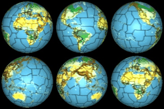
If you've ever seen pictures of a Mercator Projection (which is intended for sea-travel and navigation), you'll see that, for example, Greenland is the size of, or larger than, the US. This is unacceptable for a wargame map. In order to maintain the integrity and "size" of the map, using some sort of projection, the hexes would have to vary in their size, or scale. You might have a hex that represents 120 miles across at the equator, but is only 60 miles across in, say, Canada.
I'm not saying that the map can't be done, I'm just saying that, seeing the map for WitP, I'm afraid that Matrix is not capable of "doing it right." Having said this, I'm not bashing Matrix or their games. As far as I'm concerned, Matrix (and 2by3) is the premier computer wargame producer, and deserves major cudos, producing games in a limited niche market, as they do.
Brad
< Message edited by Brad Hunter -- 9/20/2004 3:18:33 PM >
|
 Printable Version


 New Messages
 No New Messages
 Hot Topic w/ New Messages
 Hot Topic w/o New Messages
 Locked w/ New Messages
 Locked w/o New Messages
 Post New Thread